
Whitianga Pā Project
A Strategic Ngāti Hei Stronghold – Whitianga Pā
Perched above the harbour at Ferry Landing, this site was once a fortified pā of Ngāti Hei—the tangata whenua of Mercury Bay. Chosen with precision, its position offered both protection and power.
Steep cliffs on three sides formed natural defences, while a deep, hand-cut ditch secured the landward approach. From here, Ngāti Hei could watch the harbour entrance, controlling movement in and out of Whitianga. Every waka that crossed these waters would have been seen from this vantage point.
But this pā was more than a fortress. It was part of a living landscape—connected to rich coastal food sources, sheltered landing points, and a network of settlements across the bay. The harbour below was both a highway and a pantry, sustaining generations.
Today, little remains of the built structures, yet the shape of the land still holds the story. The contours, the elevation, the commanding view—they reveal why this place mattered.
These photographs invite you to look beyond the surface. To see not just a scenic headland, but a place of strategy, survival, and identity. A stronghold shaped by Ngāti Hei, and by the enduring relationship between people and place.
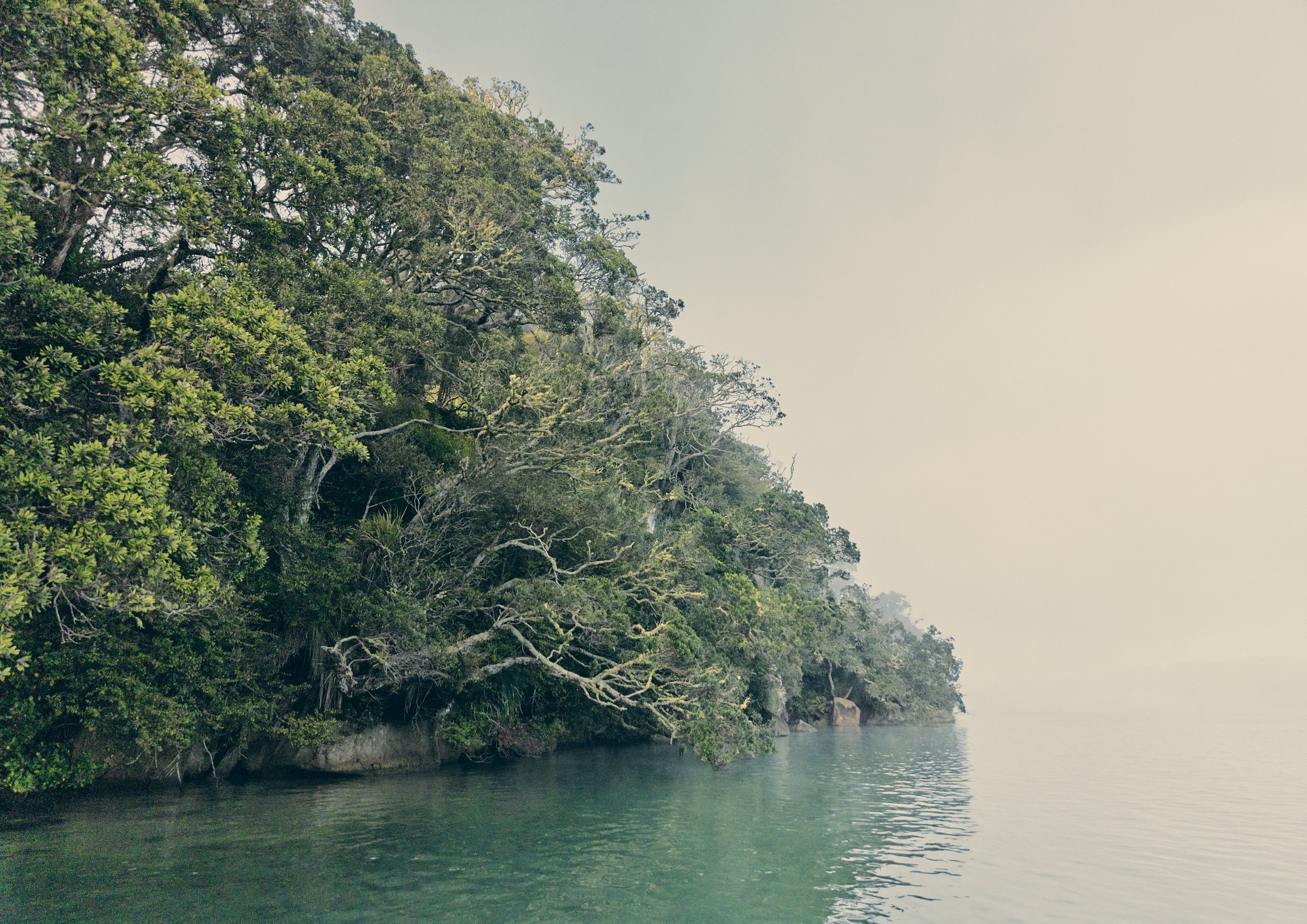
Kūrae_ archival museum grade fine art paper_ 600 x 850 cm_ Edition of 8 + 2 AP
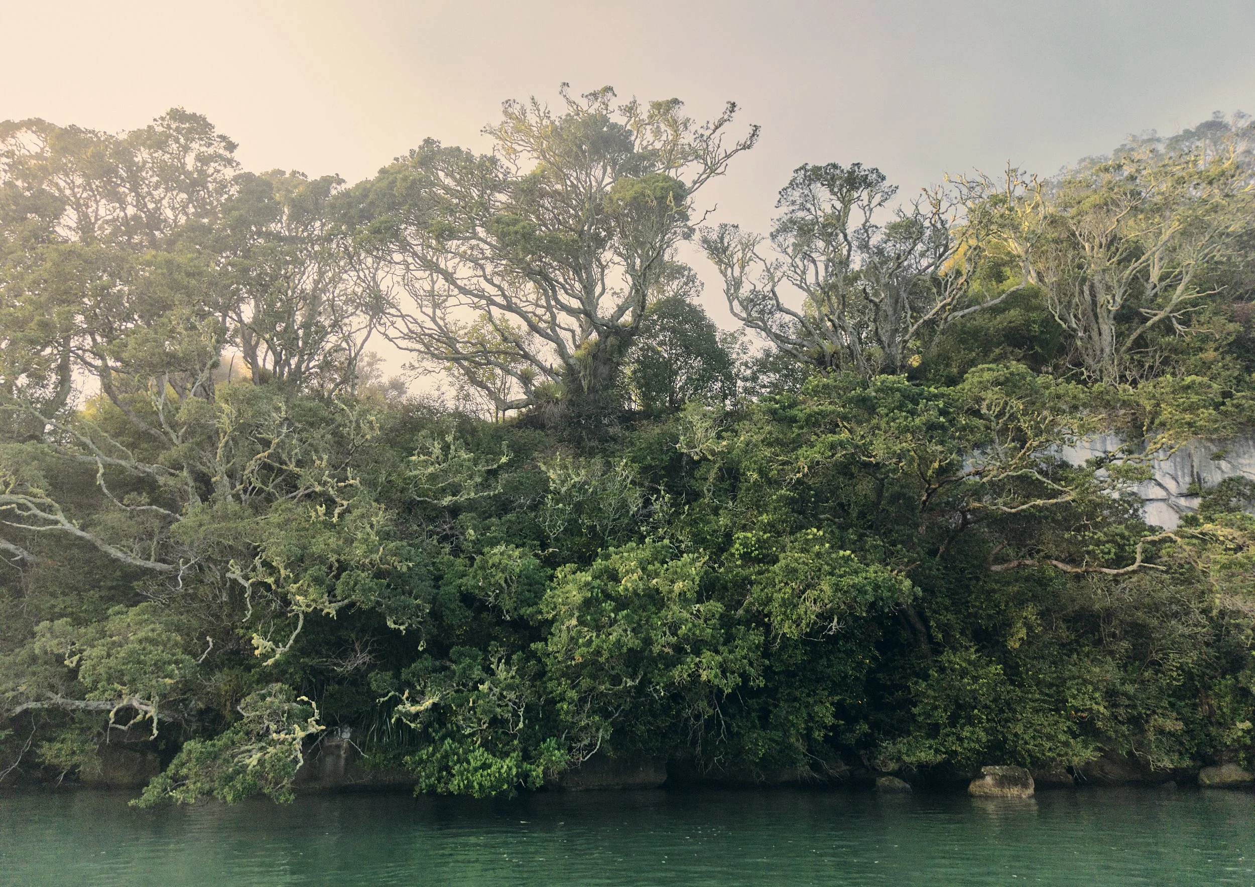
Rākau_ archival museum grade fine art paper_ 600 x 850 cm_ Edition of 8 + 2 AP
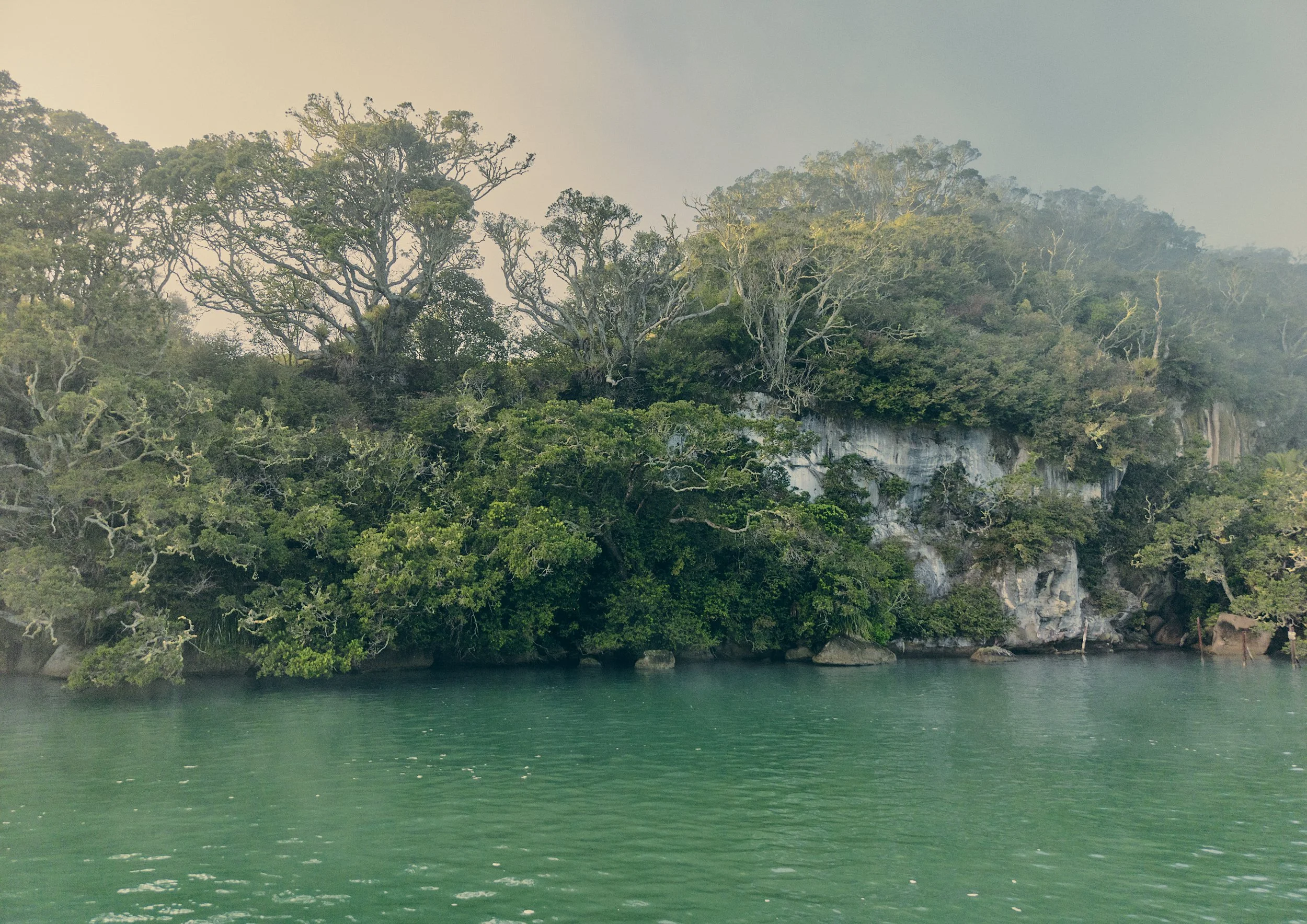
Pari_ archival museum grade fine art paper_ 600 x 850 cm_ Edition of 8 + 2 AP
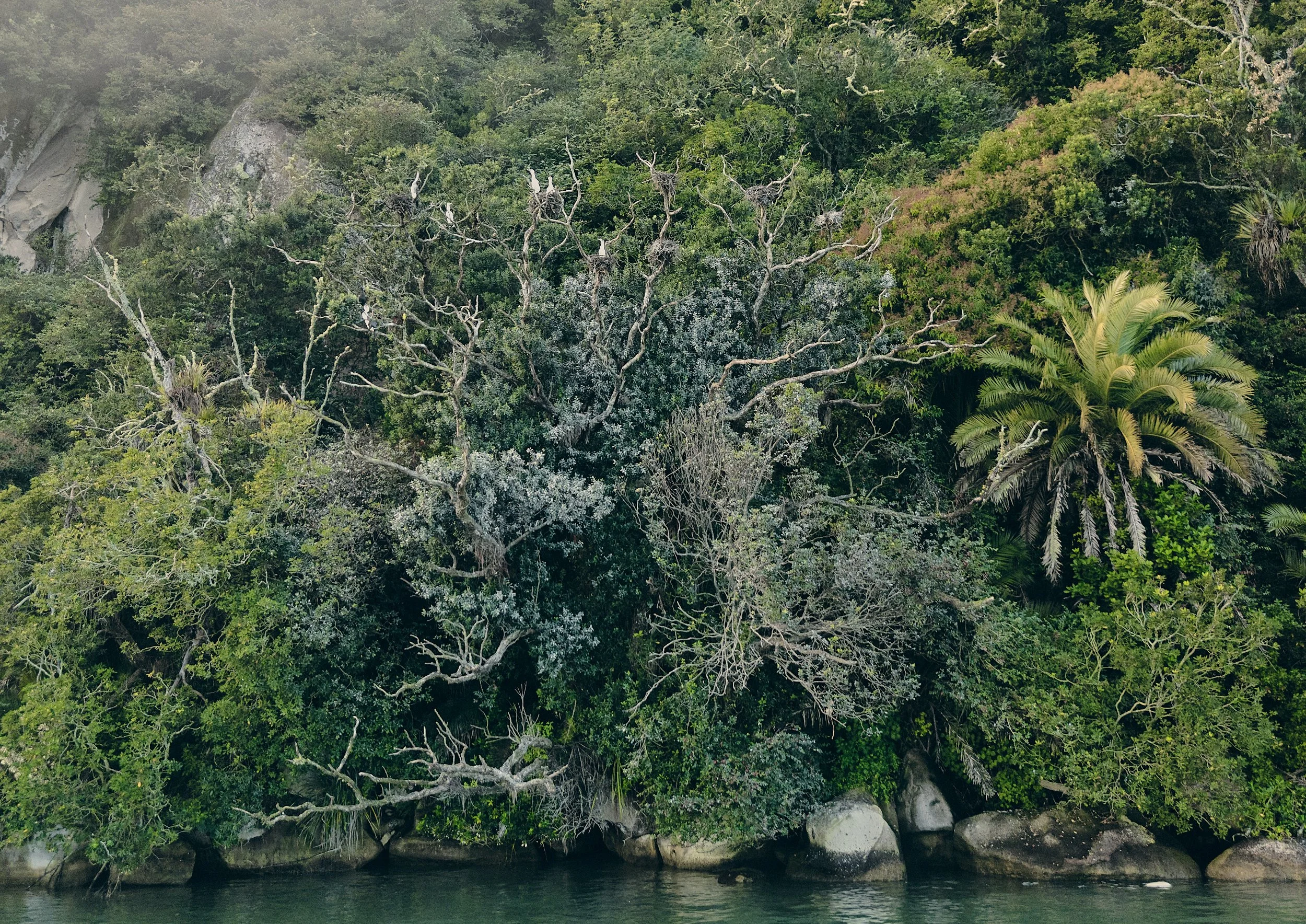
Manu_ archival museum grade fine art paper_ 600 x 850 cm_ Edition of 8 + 2 AP